
Blog
Insights, industry updates, and articles from our team.
So you want to start a drone business. Things I wish I knew sooner...
Starting a drone business...look beyond the easy part.
Read More →
Understanding Horizontal and Vertical Datums: Why Your Elevation Numbers Might Not Match
An overview of why understanding datum systems are key.
Read More →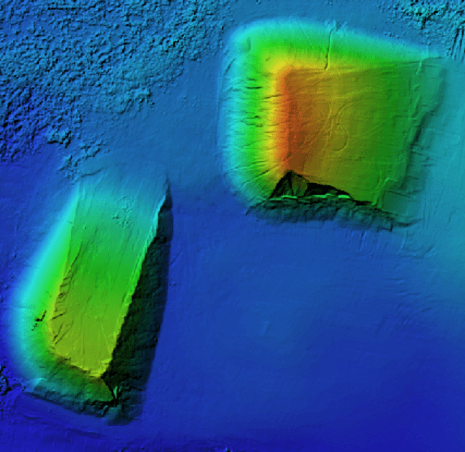
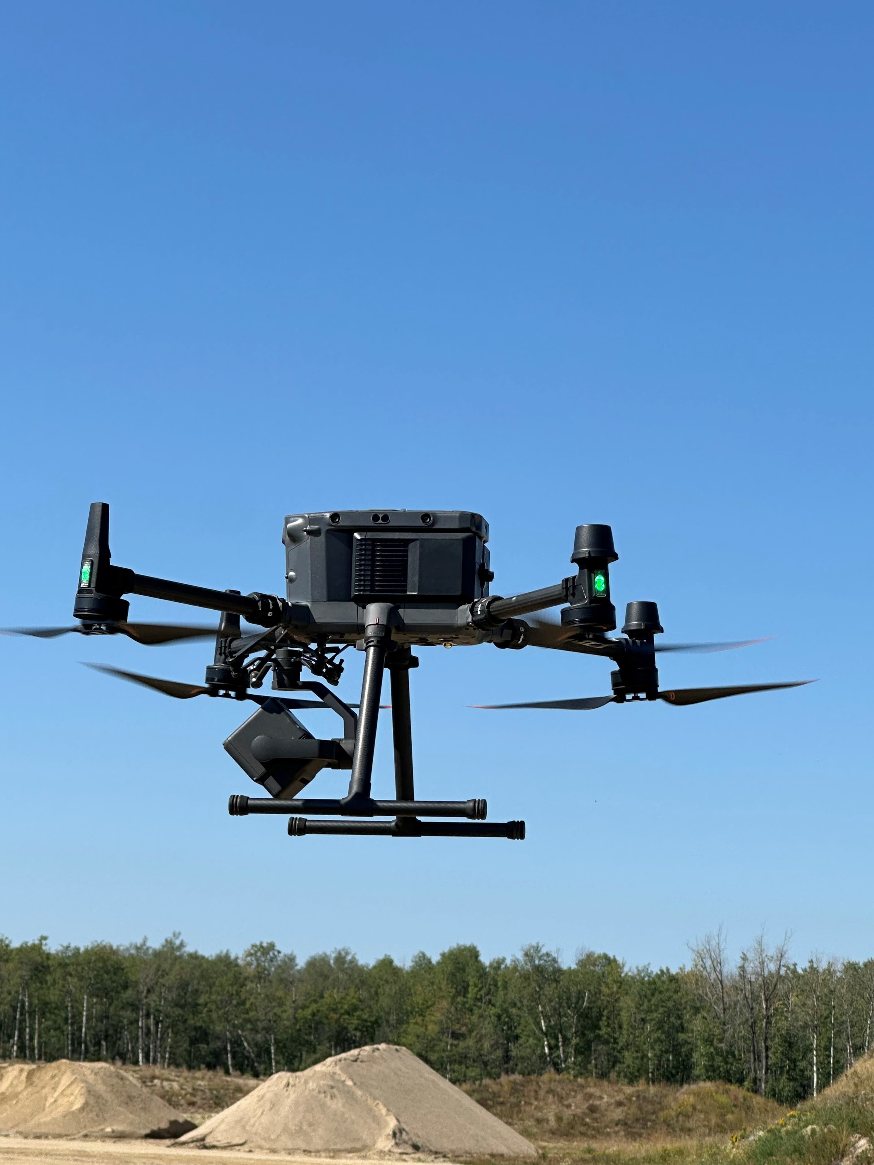
My Drone Piloting Journey
The other week, I was standing in a Sturgeon County stockpile property collecting photographs with a drone to measure the volume of two large piles of aggregates used for gravel road construction. And as oft occurs, a random thought drifted between the ears...how did I get here?
Read More →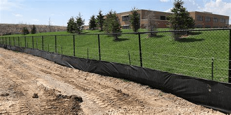
Erosion and Sediment Controls
We have all driven by a construction site and have seen hundreds of meters of silt fence, rock check dams, straw wattles and perhaps bales of hay installed everywhere.
Read More →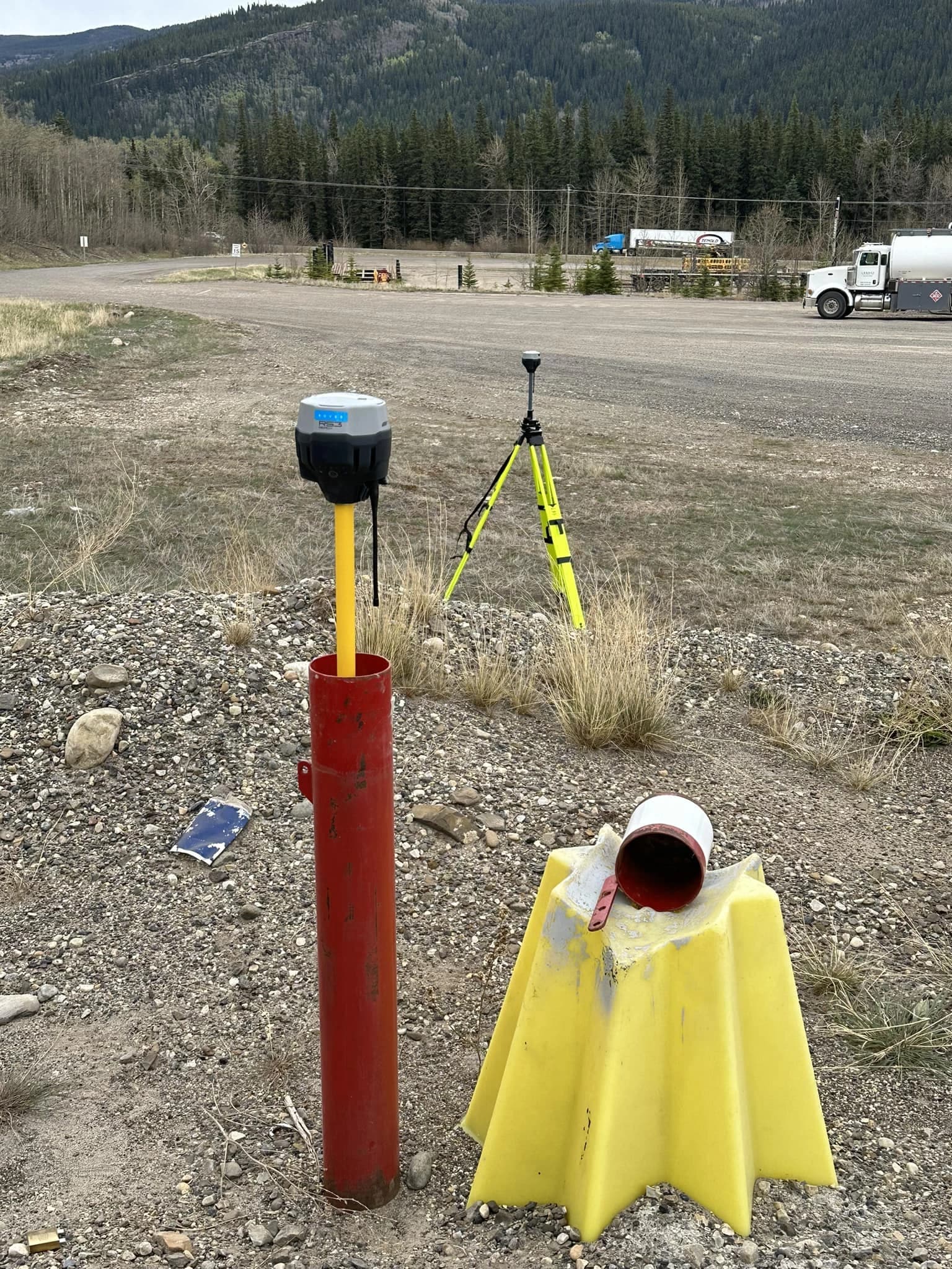
The importance of accurate spatial data
Environmental data by its very nature consists of two key elements. The first is the attribute that has been measured. This could be a groundwater level, an analytical chemical result from a soil sample or the species of a plant. The second key element is that of the location of the measurement. Either data is meaningless without it's corresponding element.
Read More →
The Lamp Logo
As our first blog post, it was suggested that an explanation of the lamp logo would make for a good first post.
Read More →