Most people in the land development, engineering, and surveying world are familiar with the term UTM NAD83 when describing a coordinate system for mapping a site. Site features are typically defined by an Easting and a Northing, measured in meters. On the surface, it looks straightforward — and in many ways, it is.
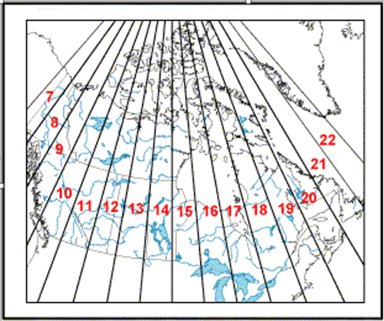
But beneath that simplicity lies a complex scientific foundation. Do you truly understand horizontal coordinate systems? What exactly are UTM zones? How do they relate to latitude and longitude? And what’s the difference between UTM, 3TM, and 10TM? Or between NAD27, NAD83, and WGS84?
Most consultants and project owners have a working knowledge of horizontal datums — enough to know what’s being measured. However, when it comes to vertical datums and geoid models, there’s often a significant knowledge gap. This becomes especially apparent when mapping site features that include elevations.
Drones (and many modern mapping technologies) typically rely on the ellipsoid Earth model for elevation data. The drone measures its altitude relative to this mathematical surface and delivers mapping outputs tied to the ellipsoid.
So, what is an ellipsoidal height? It is based on a theoretical model that represents the Earth as a smooth, mathematically perfect ellipsoid at sea level. In reality, the Earth’s surface is irregular — it bulges at the equator and has varying gravitational forces — so the actual “mean sea level” (the geoid) deviates from this perfect shape. The ellipsoid model simplifies calculations and provides a consistent reference frame, but it is not the same as true orthometric height (what we usually think of as elevation above sea level).
This difference often leads to confusion. After delivering a survey or drone mapping project, I frequently receive questions from clients asking why my elevations differ by several meters from those provided by a previous surveyor. This is where things get interesting.
The key is the vertical datum used. If the previous surveyor clearly documented the vertical datum (for example, CGVD2013, NAVD88, or a local benchmark), converting from ellipsoidal heights to the desired orthometric heights is usually straightforward using modern geoid models.
However, when the vertical datum is not specified — or worse, unknown — selecting the correct conversion becomes guesswork and can introduce significant errors.
I’ll be writing a future post dedicated to vertical datums and geoid models in more detail. For now, here’s the practical takeaway:
If you’re hiring someone to survey or map your site, be as specific as possible about the horizontal datum (e.g., UTM NAD83, Zone 10) and the vertical datum/geoid model (e.g., CGVD2013 or ellipsoid) you require. The more precise your instructions, the better the final product will match your expectations.
Be prepared for your contractor or surveyor to ask clarifying questions about the coordinate and elevation systems you need. Good communication upfront prevents costly rework later.
As the old Saturday morning public service announcements used to say: “The more you know…”
A solid understanding of horizontal coordinates and vertical datums won’t just make you a better client — it will make you a more effective consultant, project manager, or owner.