
Our Services
Combining advanced technology with personalized solutions to help you achieve your project goals efficiently and sustainably.
Environmental Management
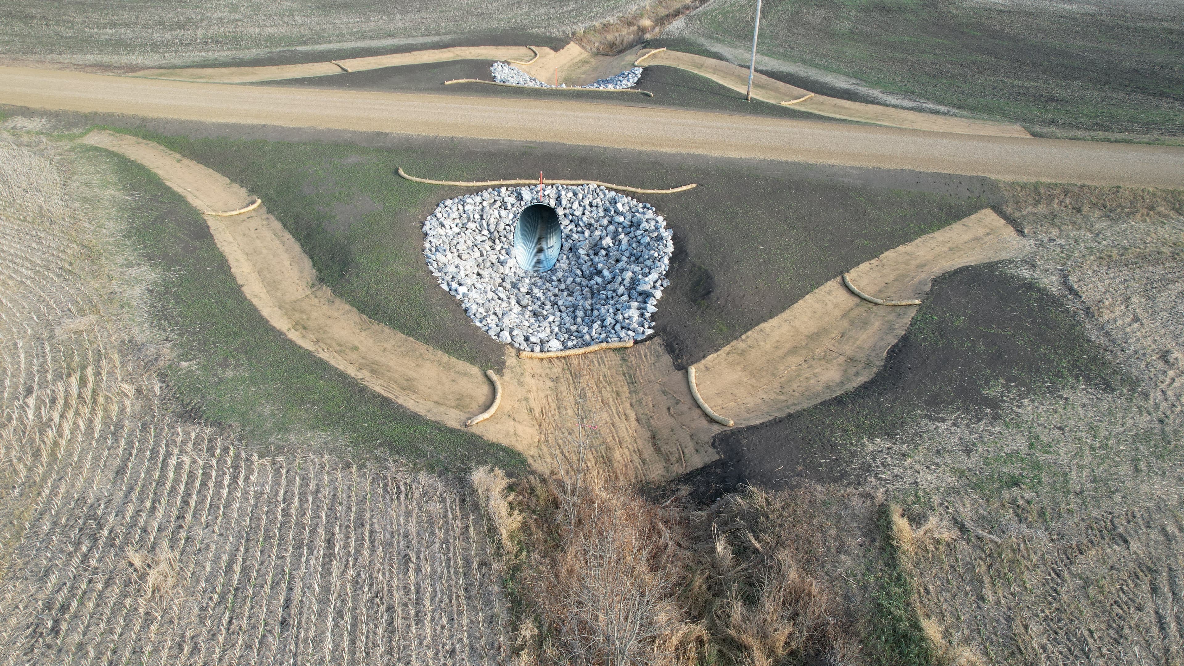
Operationally focused strategies that balance environmental performance with health and safety, financial responsibility, and legislative requirements. This includes groundwater and soil monitoring, wetland assessments, erosion and sedimentation controls and environmental management plans and inspections.
- Environmental Construction Operation (ECO) Plans
- Environmental Management Services
- Erosion and Sedimentation Control (ESC)
Geoscience & Geophysics
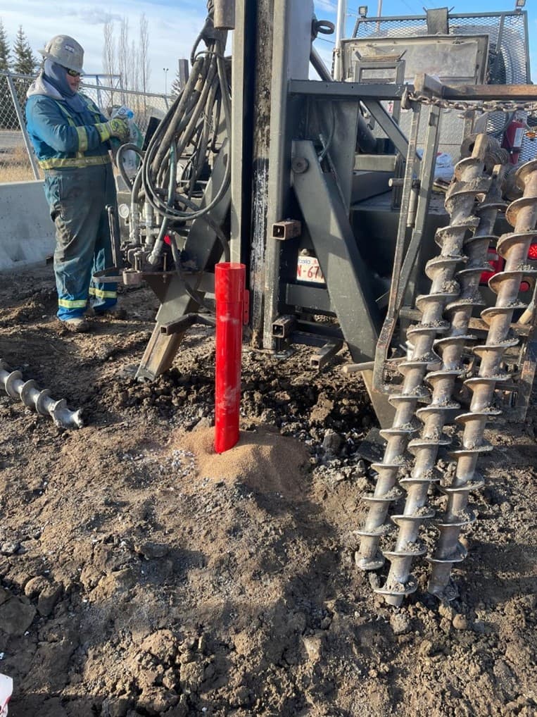
Groundwater, surface water and soils characterization and monitoring. Wildlife, vegetation and wetlands characterization and delineation. Sub-surface geophysical investigations including EM, ERT, GPR and downhole logging.
- Environmental Monitoring
- Near Surface Geophysics
- Geoscience
Geomatics
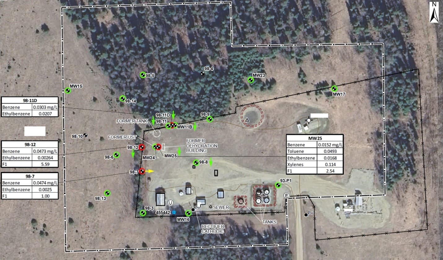
Providing high quality figures, maps, cross-sections and logs using industry standard software such as ESRI ArcPro, ArgGIS and AutoCAD Civil 3D. Jeneric provides GIS and drafting support to consultants and clients.
- Mapping and Figures
- AutoCad
- Geographic Information Systems (GIS)
Geoimaging
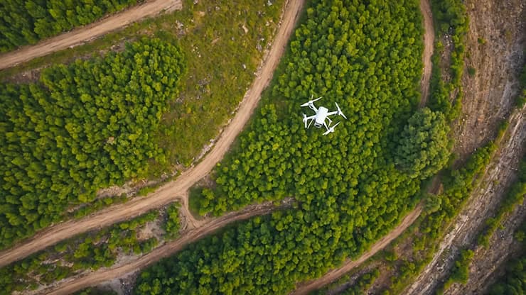
Full coverage of your project site using highly accurate and detailed mapping cameras for surface elevations, multispectral images for vegetation health and thermal imaging. Jeneric provides centimeter accurate mapping of site features, pile and excavation volumes and surface water flow directions.
- Pile and Excavation Volume Mapping
- Mapping Surveys
- Multi-Spectral Surveys for Vegetation Health
Need a Tailored Solution?
Contact us to discuss your project requirements and discover how our services can support your goals.
Contact Us