Geotechnical Drone Services.
Project Overview
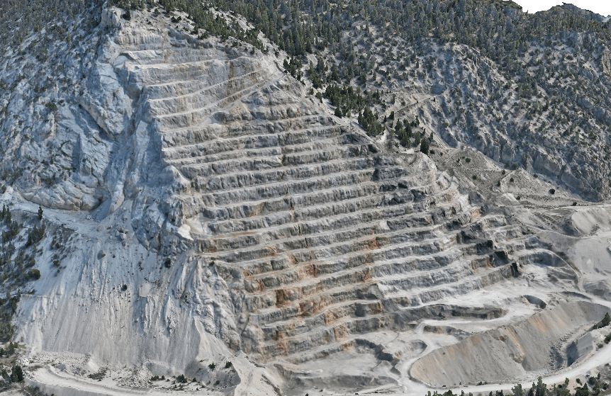
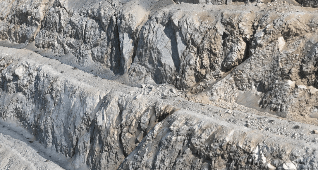
Using high resolution photogrammetry and LiDAR sensors, Jeneric annually maps limestone quarries in Alberta and British Columbia. By comparing images year after year, changes in the surface from erosional events can be mapped.
These techniques are far superior to traditional methods where geotechnical engineers would physically walk the benches. Drones provide near continuous coverage, are faster and much safer for all parties.
Contact Jeneric to discuss how drone surveys can provide repeatable surveys over difficult areas.
Have a Similar Project?
We would love to learn about your project and discuss how we can help.
Start a Conversation