Geomatics
Project Overview
Elevation Surveys – Various consultancies
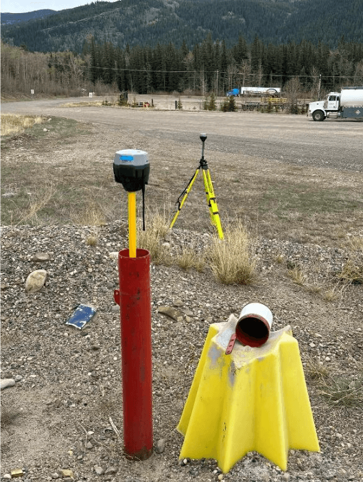
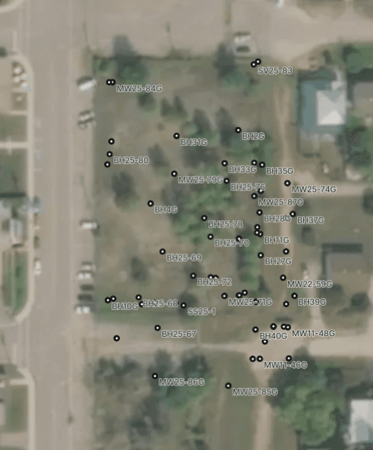
After a groundwater monitoring system has been installed at a site, knowing the location and elevation of the piezometers is critical for the mapping of groundwater elevations and flow directions. Centimeter accurate surveys provide the level of accuracy required.
Jeneric uses modern GNSS survey equipment, and a combination of both RTK and PPK corrections to ensure positional and elevations meet our clients’ expectations. Data can be provided in all common horizontal and vertical coordinate systems. Or let Jeneric make the figures for you.
Have a Similar Project?
We would love to learn about your project and discuss how we can help.
Start a Conversation